Construction
The use of drones to document construction and civil engineering projects offers significant cost-effective advantages over traditional methods. Instead of investing in fixed time-lapse cameras, which require ongoing maintenance and monitoring, drones provide a more versatile solution.

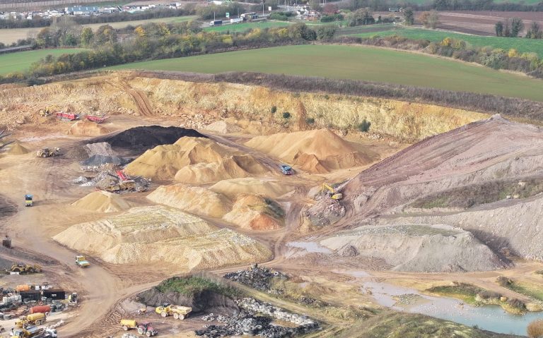
Stockpile quantity analysis using drone imaging has emerged as a revolutionary approach in the field of inventory management and resource assessment. Drones equipped with advanced imaging technologies, such as high-resolution cameras and multispectral sensors, facilitate precise measurement of stockpile volumes in various industries, including mining, construction, and agriculture. By capturing aerial images and applying sophisticated analytical techniques, stakeholders can obtain accurate data on stockpile dimensions and material composition, leading to enhanced decision-making and operational efficiency. This innovative method not only reduces the time and costs associated with traditional surveying methods but also improves safety by minimising the need for personnel to access potentially hazardous areas. As the technology continues to evolve, the integration of drone imaging into stockpile quantity analysis promises significant advancements in resource management and sustainability practices.
We need your consent to load the translations
We use a third-party service to translate the website content that may collect data about your activity. Please review the details in the privacy policy and accept the service to view the translations.
